-
Copyright Copyright Basics
Figma
Code -
Layer menu Layer menu Navigation
Figma
Code -
Floor selector Floor selector Navigation
Figma
Code -
My location My location Navigation
Figma
Code -
Zoom Zoom Navigation
Figma
Code -
Carousel Carousel Content
Figma
Code -
Map marker Map marker Content
Figma
Code -
Pop-up Pop-up Content
Figma
Code -
Routing Routing Navigation
Figma
Code -
Sidebar Sidebar Content
Figma
Code


Try using different or fewer search terms.
Usage
Shows walking and public transport routes on the map.
Rules
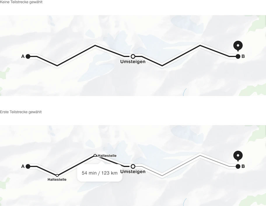
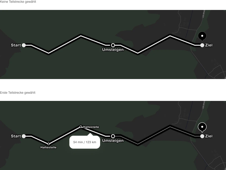
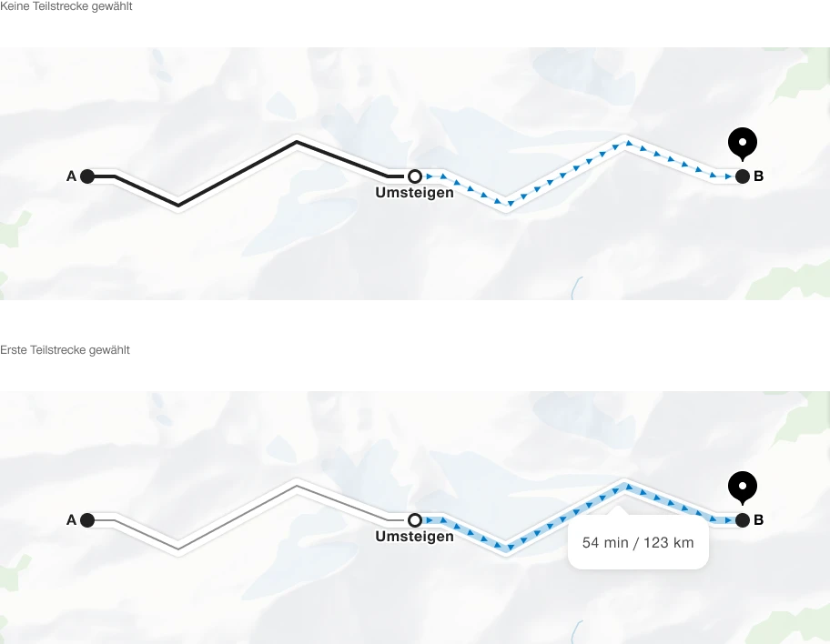
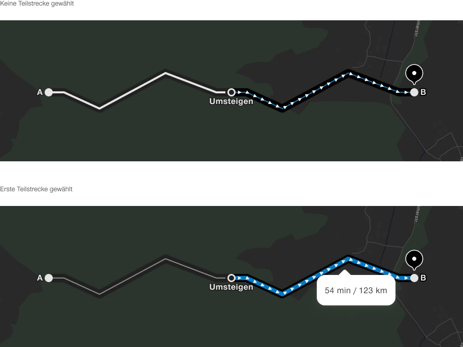
- Show public transport routes in black and white, without distinguishing between modes of transport.
- Base the public transport route design on the timetable's route diagram. Leave a gap between the route line and each stop before a transfer. Selecting or hovering over a route shows intermediate stops.
- Show route sections affected by an incident as red dashed lines.
- Show walking routes in blue on a neutral background. At close zoom levels, include arrowheads to indicate the direction of travel. At wider zoom levels, use a solid blue line.
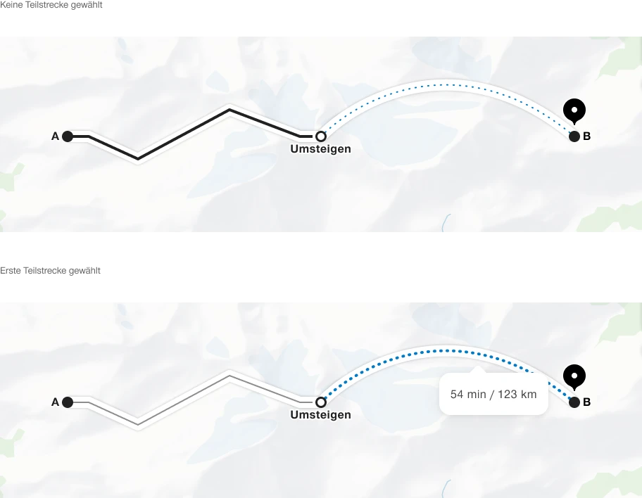
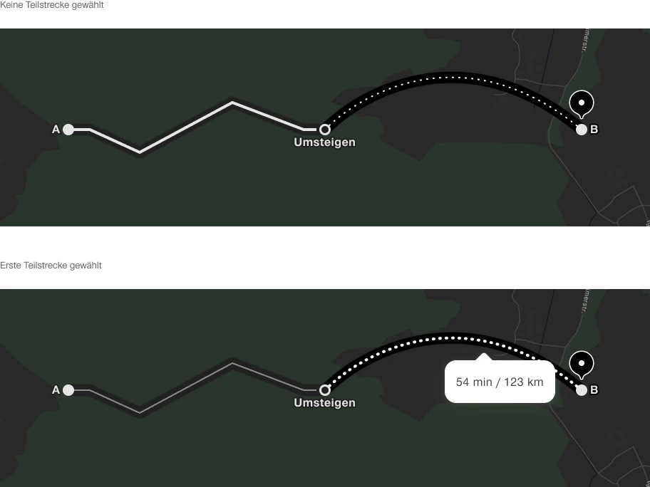
- If route information is unavailable for a section, show the line as a curve.
- Position labels for starting points, destinations and transfer points above, to the right, below or to the left of the point.
- Selecting or hovering over a route section can show additional information about public transport or walking in a pop-up.
States
The component has the following states:
- Default
- On selection/hover
Variants
The component has the following variant:
- Mode: light/dark
Public transport route
Walking route
Route without a defined mode